
Estérel Massif: hiking amongst the red porphyry of Mont Vinaigre
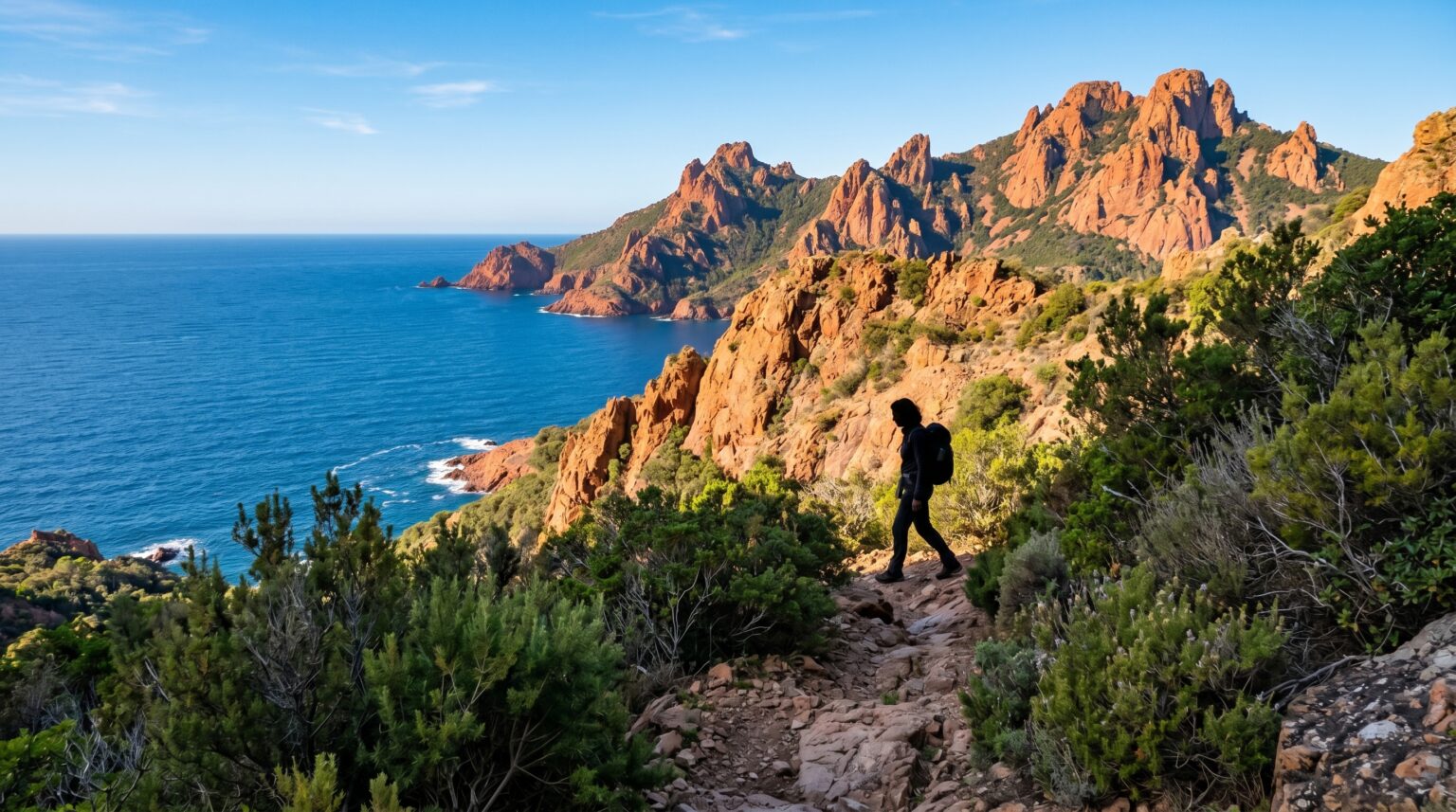
The Estérel Massif is not merely the reddish backdrop to the Côte d’Azur; it is a genuine hiking territory, spanning the communes of Saint-Raphaël, Fréjus, Bagnols-en-Forêt and Les Adrets de l’Estérel, and reaching 614 metres at Mont Vinaigre. Its distinctiveness lies in its colour: the rock is composed predominantly of rhyolite (red porphyry), a volcanic rock formed by the surfacing of lava approximately 250 million years ago.
It is this palette, blood red, pine green, Mediterranean blue, that defines the visual identity of the Estérel, and distinguishes the hiking here from all others along the coast.
Mont Vinaigre: the massif’s vantage point
At 614 metres, Mont Vinaigre is the highest point of the massif. The ascent is conventionally made via the Col Notre-Dame, following the red and white waymarking of the GR 51. Allow 3 to 4 hours round trip depending on the starting point, with an elevation gain of approximately 400 metres.
The summit offers an exceptional panorama: on clear days, a single glance encompasses the Lac de Saint-Cassien and the Fayence region inland, the Golfe de Fréjus and the Corniche d’Or toward the sea, and in the background, the Southern Alps on certain winter days. It is one of the finest viewpoints on the Côte d’Azur.
The coastal path: a different Estérel
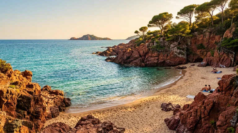
For those preferring to remain by the sea, the coastal path that runs along the Corniche d’Or from Saint-Raphaël to Théoule-sur-Mer offers a different perspective on the massif. The red rock descends directly into the water; calanques, creeks and coves succeed one another over some ten kilometres. The most beautiful sections are around Cap Dramont, Pic du Cap Roux (descent to the sea from 452m) and Pointe de l’Aiguille.
These coastal routes take 3 to 5 hours depending on variations; they are passable year-round, but in summer, shade is very limited, favour early morning or late afternoon.
The geology: an ancient volcano in the open air
The red rhyolite or porphyry that gives the Estérel its colour results from volcanic activity in the Permian, approximately 250 million years ago. The lava solidified at the surface, forming dykes (veins), flows and cones, which erosion has sculpted into peaks of characteristic form (Pic du Cap Roux, Pic de l’Ours, Cap Roux).
The oxidation of iron present in the rock imparts its blood-red colour; certain outcrops tend rather toward violet or purple depending on exposure and weathering.
Practical considerations
Fire risk is significant in the dry season: from 1 July to 30 September, access to the massif is regulated and possibly prohibited depending on alert level (consult the daily map on the Var prefecture website). Outside this period, access is unrestricted.
No potable water along the way: allow 1.5 to 2 litres per person. The terrain is rocky; footwear that supports the ankle is recommended. The waymarking of paths is generally clear but, especially out of season, certain routes become obscured in the maquis. An IGN map 1/25000 is useful for inland itineraries.
Planning a stay in Saint-Raphaël
AEC Collection selects and represents premium villas and houses in Saint-Raphaël, Agay and in the foothills of the Estérel. Hikes are undertaken independently or with local guides available to book through the tourist offices.
Our properties in Saint-Raphaël
Exceptional chalets, villas and apartments, selected by our agents for their standing.
View the properties in Saint-Raphaël →