
Estérel Massif: hiking in the red porphyry of Mont Vinaigre
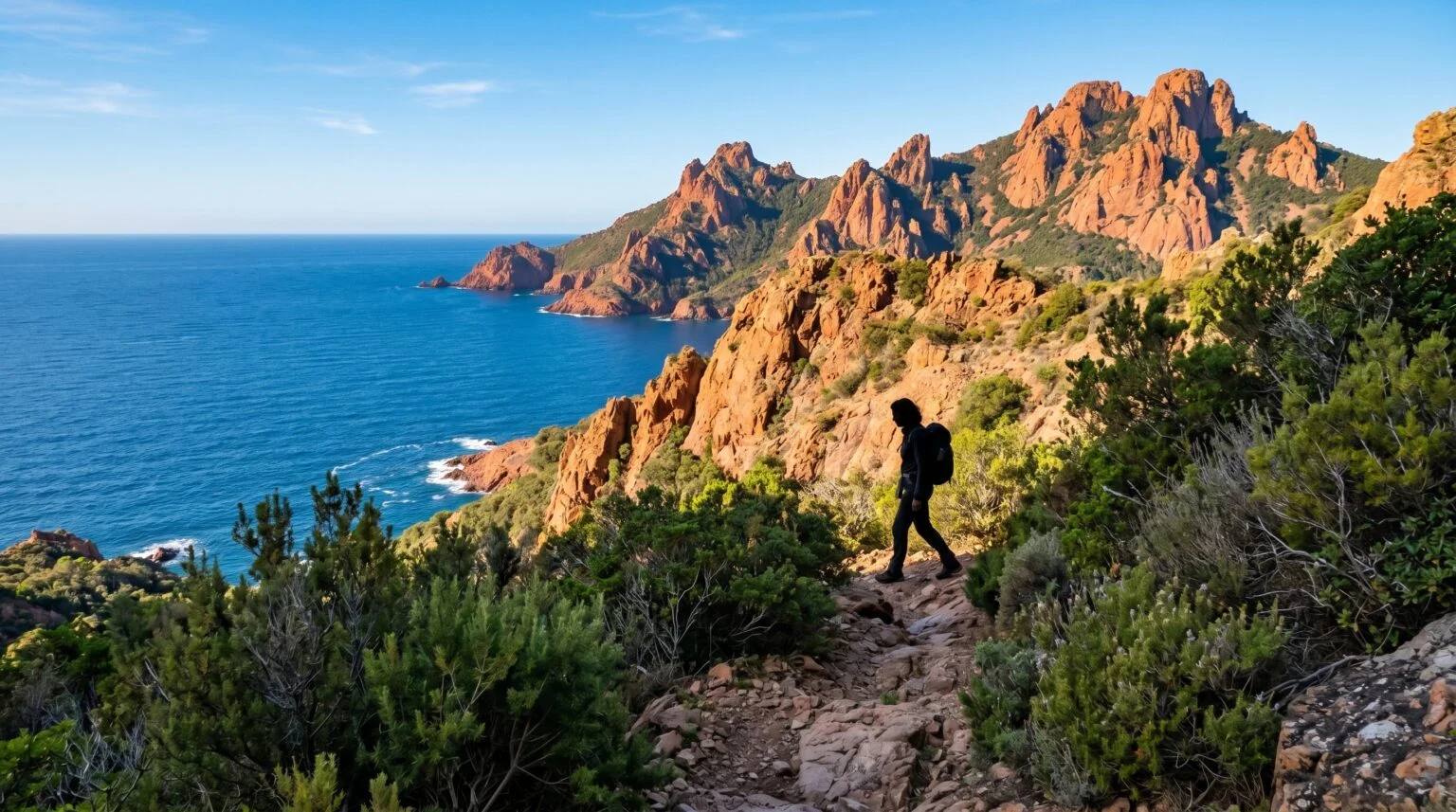
The Estérel Massif is more than the reddish backdrop to the Côte d’Azur; it is a genuine hiking territory, stretching between Saint-Raphaël, Fréjus, Les Adrets-de-l’Estérel, Théoule-sur-Mer and Mandelieu-la-Napoule, and reaching 614 metres at Mont Vinaigre. Its distinctive character lies in its colour: the rock is composed largely of rhyolite (red porphyry), a volcanic rock formed by the rise of lava to the Earth’s surface approximately 250 million years ago.
This palette, blood red, pine green, Mediterranean blue, defines the visual identity of the Estérel and sets hiking here apart from all others along the coast.
Mont Vinaigre: the belvedere of the massif
At 614 metres, Mont Vinaigre is the highest point of the massif. Several marked itineraries lead to it, of varying duration and elevation gain depending on the starting point; the GR 51 crosses the massif.
The summit offers an exceptional panorama: on clear days, one can embrace in a single glance the Lac de Saint-Cassien and the pays de Fayence inland, the Golfe de Fréjus and the Corniche d’Or on the seaward side, and, in the distance, the Southern Alps on certain winter days. It is one of the finest viewpoints on the Côte d’Azur.
The coastal path: another side of the Estérel
For those who prefer to stay by the sea, the coastal path running along the Corniche d’Or from Saint-Raphaël to Théoule-sur-Mer offers a different reading of the massif. Red rock plunges directly into the water; calanques, coves and inlets succeed one another along the corniche. The finest sections are around Cap Dramont, Pic du Cap Roux (descent to the sea from 453m) and Pointe de l’Aiguille.
These coastal routes take 3 to 5 hours depending on variations; they are passable year-round, but in summer shade is very limited, favour early morning or late afternoon.
The geology: an ancient volcano in the open
The red rhyolite or porphyry that gives the Estérel its colour results from volcanic activity in the Permian period, approximately 250 million years ago. The lava solidified at the surface, forming dykes, flows and cones, whose erosion has sculpted summits of characteristic form (Pic du Cap Roux, Pic de l’Ours, Cap Roux).
The oxidation of iron present in the rock gives it its blood-red colour; certain outcrops tend towards violet or purple depending on exposure and weathering.
Practical advice
Fire risk is serious in the dry season: in summer, access to the massif is regulated or even prohibited depending on the alert level (consult the daily map on the Var prefecture website). Outside this period, access is generally unrestricted, though roads in the massif may close in strong mistral winds.
No drinking water on the trail: allow 1.5 to 2 litres per person. The terrain is rocky; shoes that support the ankle are recommended. Trail signposting is generally clear, though in the off-season some paths become obscured by scrub. An IGN map 1/25000 is useful for inland routes.
Planning a stay in Saint-Raphaël
AEC Collection selects and represents villas and high-quality homes in Saint-Raphaël, Agay and in the foothills of the Estérel. Hikes can be undertaken independently or in the company of local guides, to be booked through the local tourist offices.
By the AEC Collection team
Our properties in Saint-Raphaël
Exceptional chalets, villas and apartments, selected by our agents for their standing.
View the properties in Saint-Raphaël →